There is a lot that I’m able to learn from my desk in a now-frosty corner of Northern New England, and that remoteness is part of my delight in scanning the world like this. But sometimes I stumble on locations and features that don’t tie easily to ground-level history, news,...
[Read More]
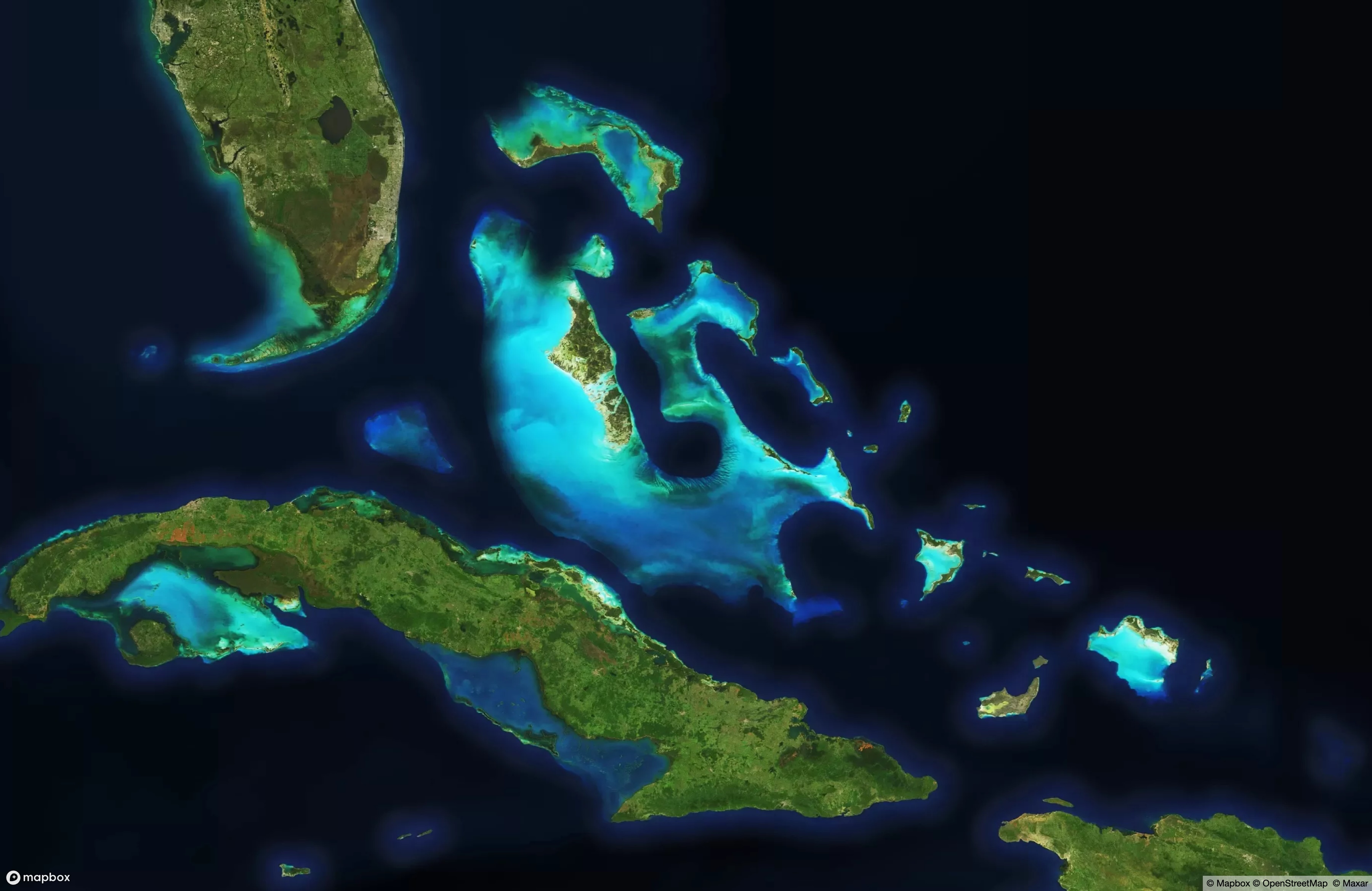
At work, I’m in the middle of the largest update of imagery I’ve ever supervised. Ten million square kilometers of new satellite views, covering most of the world’s most densely-populated areas and a whole bunch of other locations chosen ad-hoc for various reasons. The last update of this scale was...
[Read More]