The cartographer’s promised land
The new Mapbox Studio just went to private beta today. Here’s what I’ve learned using it.
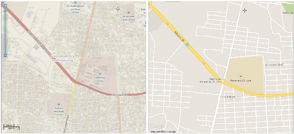
There’s a lot of marketing behind the new Mapbox Studio, along with a glowing review in Wired. I’ve been fortunate enough to be able to play with it for a few months now as it developed, and the Mapbox team should be proud.
[Read More]