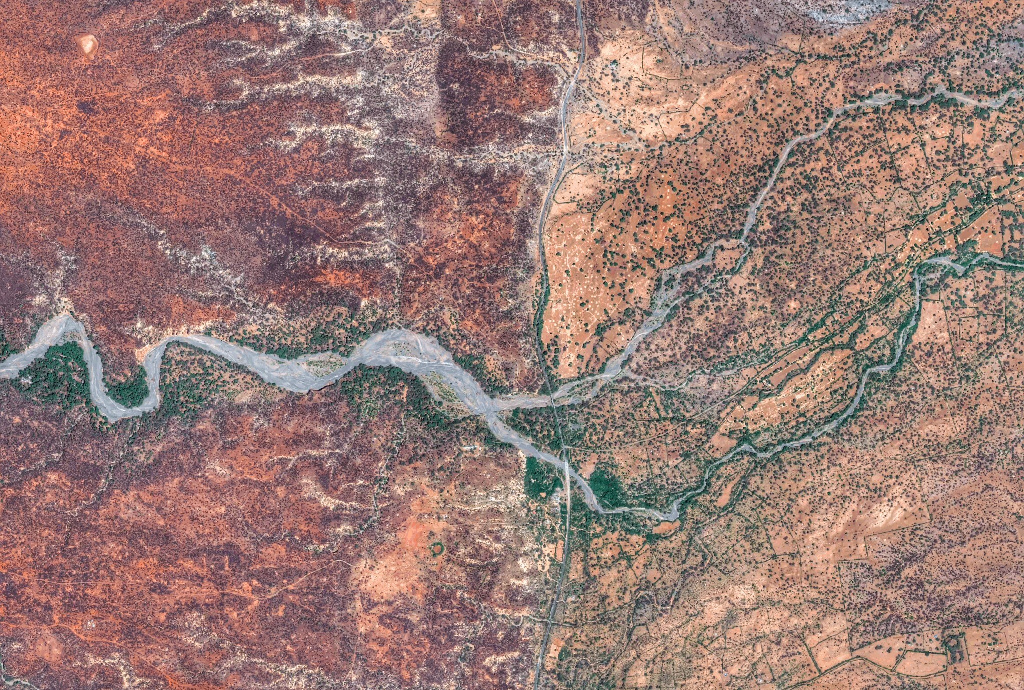
On a plain in western Kenya, mesquite trees flourish where a river spills out of the mountains. Introduced from North America, mesquite has been used worldwide for rapid re-afforestation. It sinks deep roots, quickly. It fixes nitrogen and sequesters carbon.

Lake Baringo, Kenya — Image by Digital Globe, 2014
. . . and it’s visible from space.
In the global fight against deforestation, Earth-observing satellites have spent decades whirling around the planet, confirming successful conservation projects and sounding seemingly-endless new alarms on wildcat miners and on seasonal slash and burn. And the eyes in the sky are about to gain undreamed-of acuity; hundreds of instruments — streaming trillions of pixels dozens of times daily over anywhere on Earth — will be online within the next year or two, part of a massive space expansion in the private sector. Google, Digital Globe, Planet Labs and a veritable horde of space travelers are headed into orbit.
(Requisite folksy aphorism: Soon, ten overhead pictures of a grazing cow will be available within minutes of it going out to pasture.)
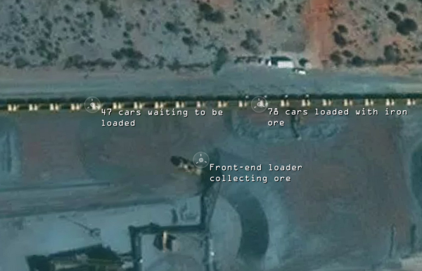
Business intelligence is catching on. Data that was once the purview of the military is out in the open, available for purchase. Freight companies are tracking their rolling stock, and that of their competitors. Facebook is mapping its market (i.e. every person, everywhere).

Mine monitoring in Australia — Mapbox, 2014
As capabilities ramp up, we’re all exuberant. I mean, I’m actually flipping my s*** on a near-daily basis that my Master’s thesis came 10 years too soon. The implications for phenology studies alone have me gnawing on a sprig of winter wheat to calm down. But I also have a nagging sense that we’re missing something when we look down from above. A Political Ecologist named Paul Robbins noticed something funny while hanging out in Rajasthan a few years ago: the view from the ground was much more complicated than the view from above.
From above, it looked like the local foresters had done yeoman’s work on behalf of the World Bank and other funding agencies under the REDD+ umbrella, expanding forest cover quickly and measurably with mesquite. They were justifiably proud of their conservation accomplishments, and satellite observation would validate them. X% increase in NDVI and LAI over Y hectares.

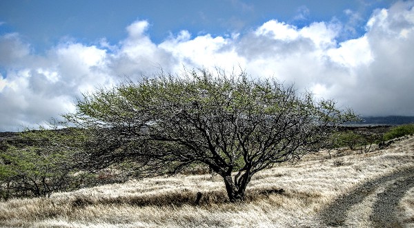
Mesquite on Maui — photo by Forest and Kim Starr
From the ground, the local herders told Robbins a different story — about how the mesquite was a bane on the landscape, a fiercely-competitive invasive and a poison forage for their cattle. They weren’t opposed to conservation — they were opposed to this specific plant.
What is the boundary between the observable and the important?
Conservation is complicated, we know. We get that a seemingly-clear benchmark (“Increase forest cover”) — even when met exactly to spec — can have a ripple effect across the landscape (Do the herders clear forest elsewhere? Does the mesquite outcompete a crucial endemic species?).
So, what else is complicated?
Just as conservation planners are semi-alert to collateral damage in their efforts, the industries coming onboard the Earth observation train should consider their blind spots. If you count parked cars to measure employment at a factory in Shenzhen, will they build a parking garage? Will illegal fishing operations in the South Atlantic — aware that they’re being observed at a certain scale — look to parallelize with smaller ships? Is counting houses the same thing as counting people who are interested in buying your internet service? Who gets marginalized when your proxy measure of mine productivity comes up short? The investors? The workers?
As spatial and temporal resolution increase exponentially, we need to increase the rigor of how we frame these questions and the answers we expect.
Is the important process— the one that drives you to use the satellite perspective — actually observable from above?

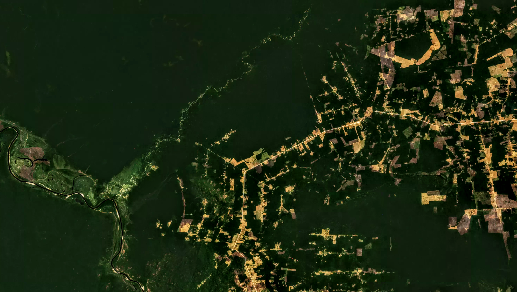
Costa Marques, Brasil — Image by DigitalGlobe, 2015