As a part of my day job, I spend time on a grand but perplexing tour of the Earth, running QA/QC on the Mapbox Satellite project. It’s my intent to occasionally share some of the views I come across, but more importantly the unexpected things I discover about places I’ve never been. At this point there are a plethora of blogs and social media accounts that give you a window into new and interesting places from the vertical perspective, but here I aim to go a bit deeper, while hopefully still avoiding the sophomoric. And who doesn’t love a wikpedia rabbit hole?
Atlas Miscellaneous, 2025-01-15
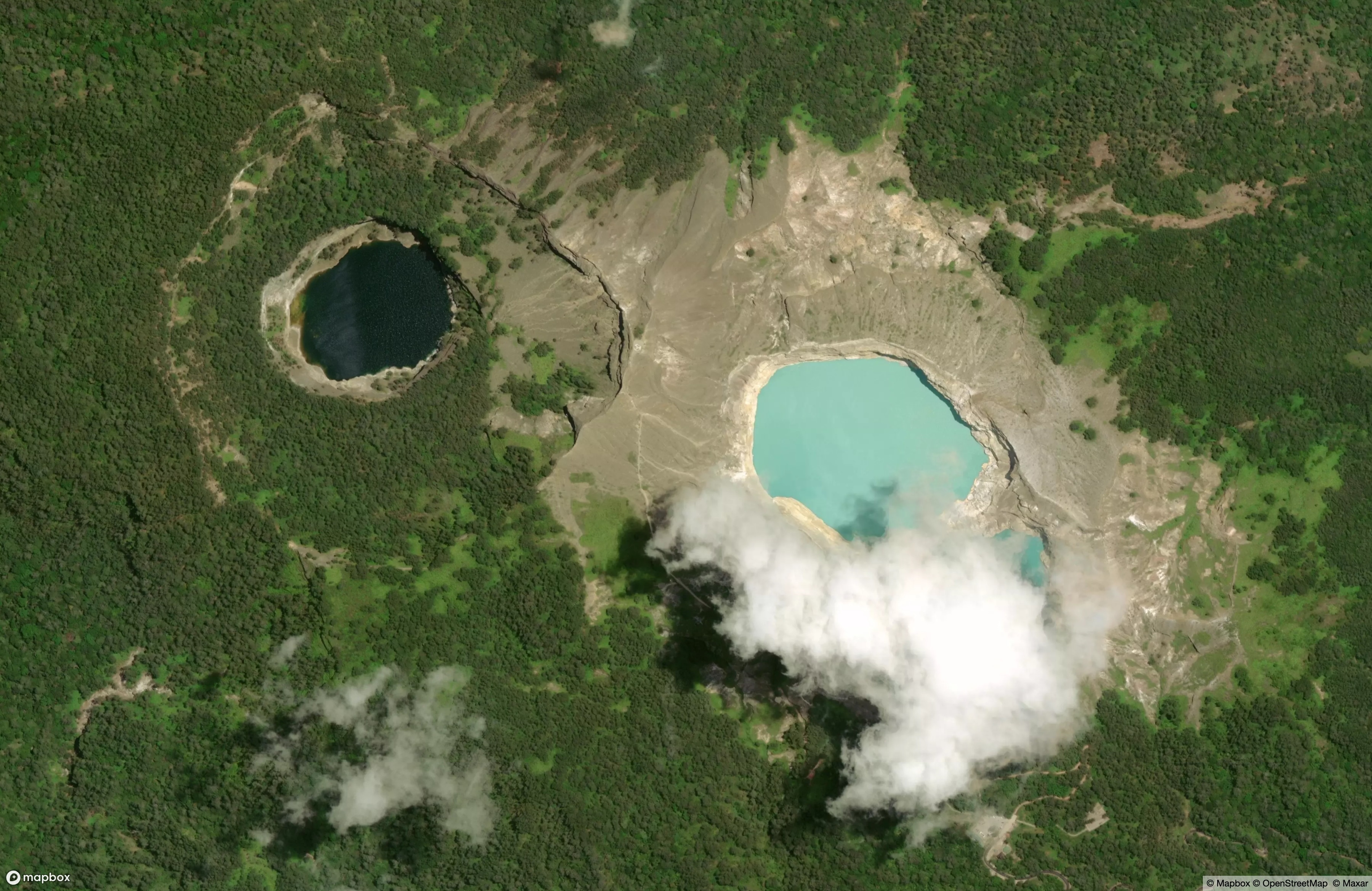
Kelimutu

Typically in the course of my overhead travels, dear reader, if I see two bodies of surface water that are completely different colors, I assume that there is a capture stitch of some kind between them. For example, a plane flies over on a windy day and the pond below looks choppy and very reflective - then the plane flies over a nearby lake on a calm day and the water is dark and broody, that sort of thing.
Not so with the crater lakes of Kelimutu on Flores Island in Indonesia! These are adjacent lakes with completely different mineral compositions, hence the different colors. And the extra surprise is that there’s actually a third lake hiding under that cloud, and it’s got it’s own distinct hue.
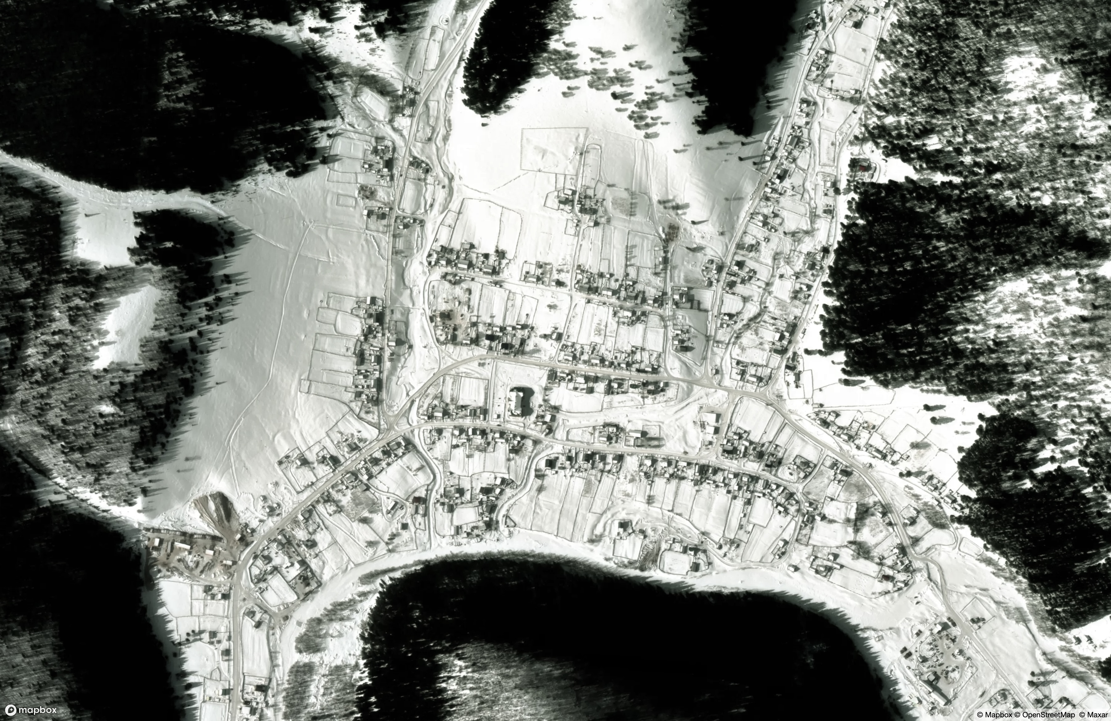
Ust-Tabask

In pursuit of a globally-consistent basemap, my employer usually wants us to seek out cloud-free and snow-free imagery. However, sometimes a winter acquisition is the only thing available from our sources, and I actually love it when we get snowy views. The village of Ust-Tabassky is one such example, nestled in a small valley in the Russian Republic of Bashkortostan, captured deep in winter with fresh snow still on the roads.
What’s happening these days in the village of Ust-Tabassky, you ask? Well, their delightful municipal website begs to inform us that
An inspection conducted by the district prosecutor’s office established that the vehicles, which were state-owned by the State Autonomous Institution of the Republic of Bashkortostan “Askinsky Forestry”, were used for personal purposes, outside of working hours and on weekends, including on routes outside the district.
Local news. Relatable all over the world.
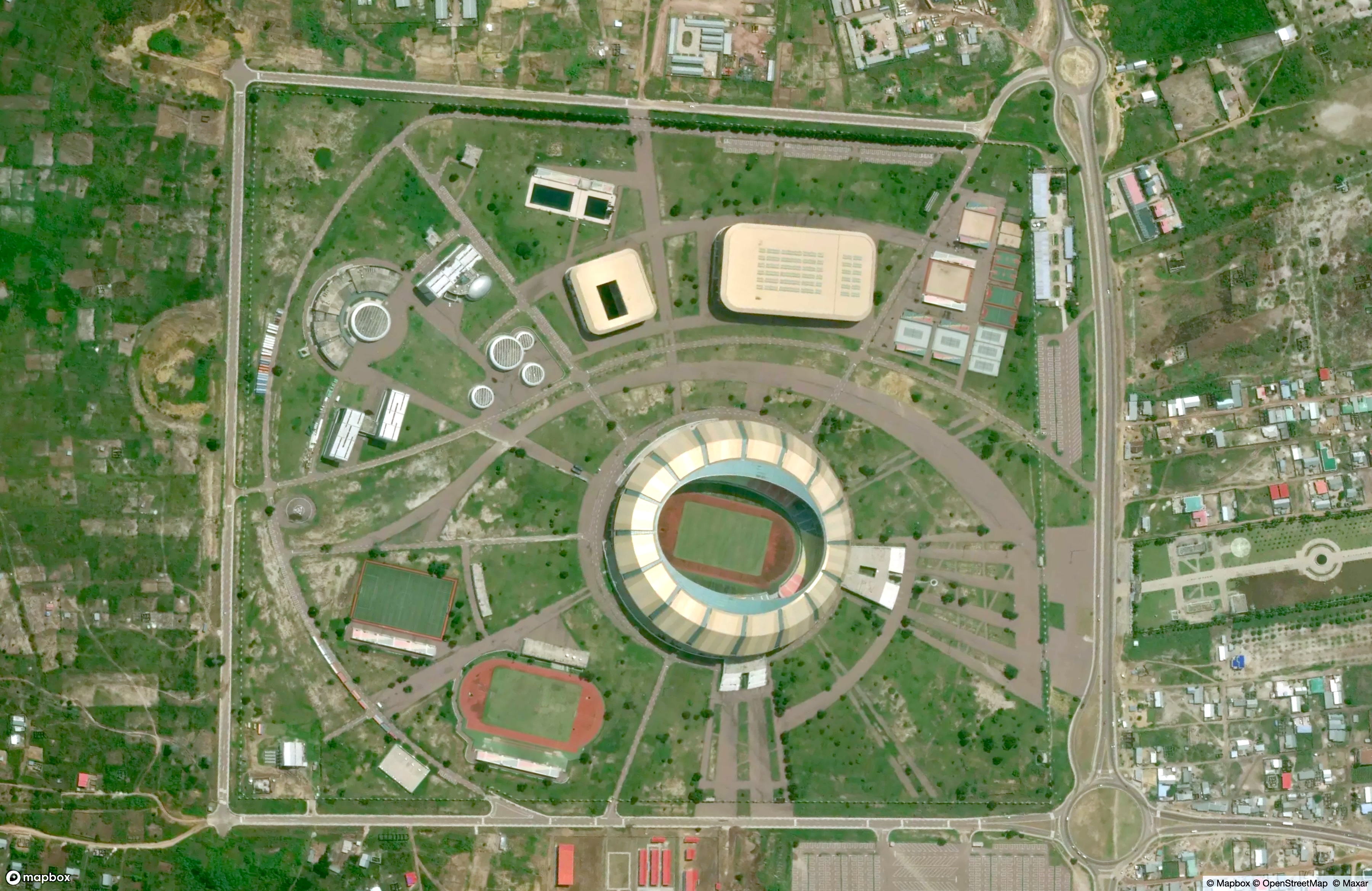
Brazzaville

Built outside of Brazzaville in the Republic of the Congo for the 2015 African Games, the Stade Municipal de Kintélé caught my attention because of the road transitions at the corners. The massive, roughly-rectangular plot of the sports complex contains facilities and playing fields connected by swooping walkways and passages. At two corners along the perimeter of the complex, the wide boulevards join via enlightened-urban-design roundabouts to an extended fast-transportation network. However, at two other corners, the four-way intersections lead off into dirt tracks or dead-end into scrubland.
I am familiar with the kind of urban optimism that may come with the boom-and-bust cycles of cash availability; it can affect any form of government and any level of planning. My own town has been trying to extend a dead-end highway for fifty years.
But sometimes, if you build it, they don’t come. A decade after hosting the African Games, Kintélé stadium is still well-maintained, but those back corners still lead off into the smallholder farms of the countryside.