Landsat 1 launched in 1973, and the world hasn’t been the same since. Nearly 50 years later, Google has provided a way of realizing the promise of such a long transect of data, offering a viewing portal for timelapses anywhere on earth (well, anywhere that the clouds occasionally part).
I refer to this tool regularly, but most recently I found examples of amazing human activity, here, in the middle of the Algerian Sahara
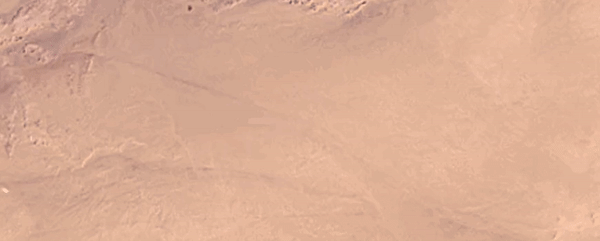
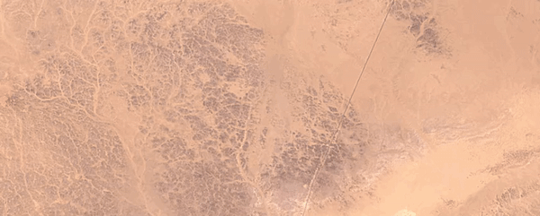
Someone tries pivot-irrigated wheat for a few years in the late 90s:
The wheat gets literally swallowed by the dunes, when . . . what? When the money runs out? When the fossil water goes dry?
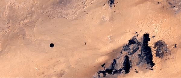
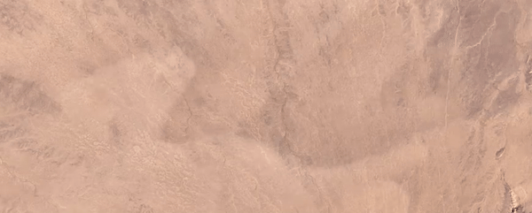
The next move is orchards, looks like dates or citrus trees up close:
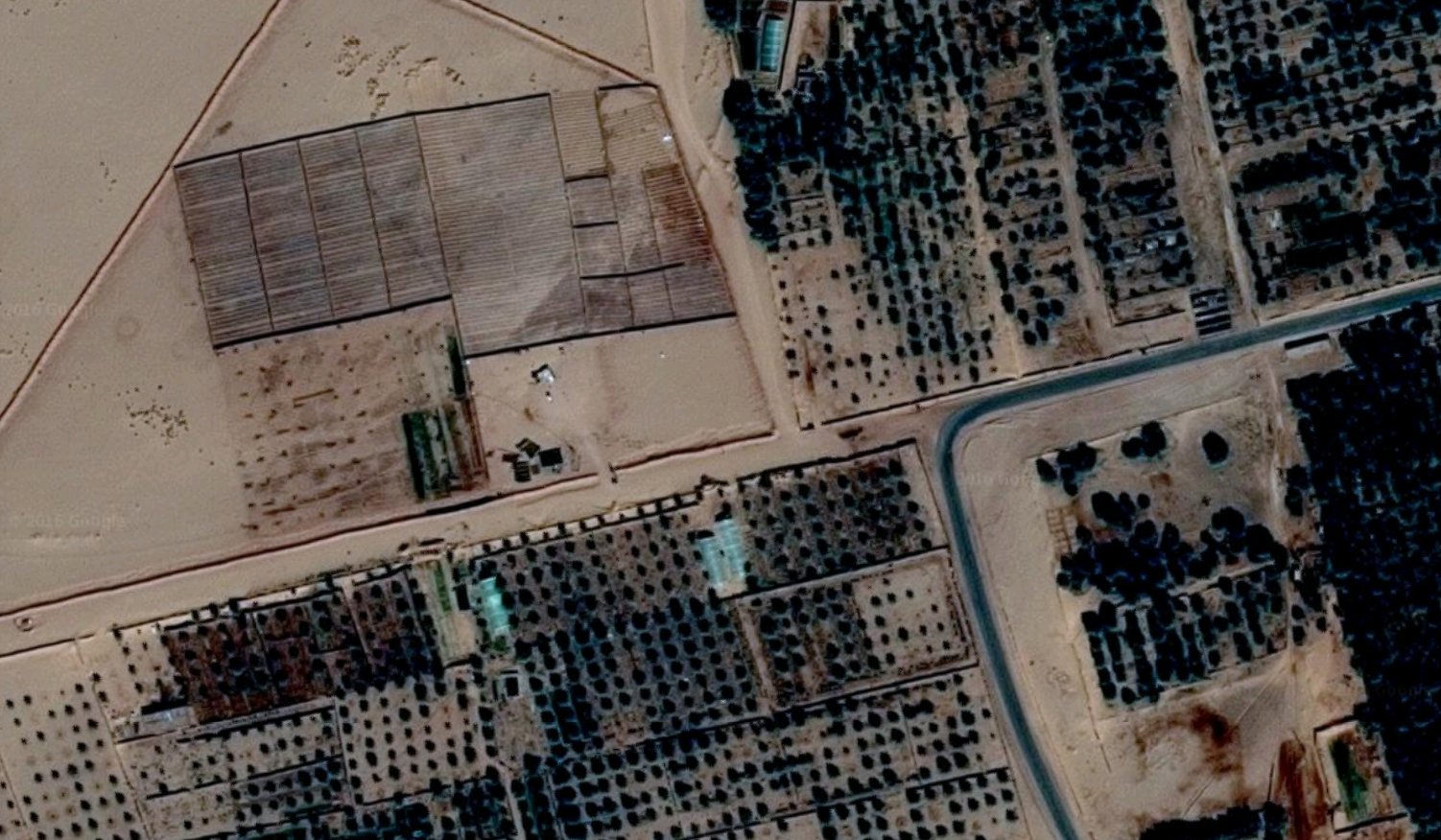
And those are still there. In the middle of the Sahara. Maybe those dates are in your local Whole Foods. The place is called Ain Salah - an oasis town on an ancient caravan route. One example of an explosion of agriculture in the Sahara.
At Al Jawf, in Libya - they tried out a land distribution tactic also visible in the Bolivian Amazon:
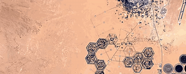
Ghadduwah, Libya - this actually LOOKS like someone dropped a seed-bomb around 2006:
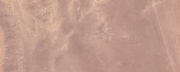
As a counterpoint, here’s some mesmerizing natural dune motion over the same time period:
Zaiouet Kounta, Algeria: someone does an actual rotation cycle, moving the fields around year to year:
I don’t mean to sound too judgmental here - these are incredible feats of engineering. Humans are making the desert bloom. But seeing the speed of transformation is astonishing and unnerving. It’s shock and awe on the fringes of a globalized food system. And it’s amazing that we can see it happen on fast-forward, thanks to Google and the Landsat program.