1998
The GIS lab at Middlebury College had a set of drafting pens hanging on the wall, dust on top of the box. There was also a ruler and a caliper-like thing in there, a curiosity as we labored over the new arcane of ArcView and Illustrator. Rumor had it that Professor Churchill had once used those pens in the dim ages.
2003
Openstreetmap would have been a godsend to my 23-year-old self, sweating ceaselessly over light cardstock and sheafs of tracing paper as I planned a gravity-fed aqueduct for a village in the Dominican rainforest. A survey-grade GPS would have saved weeks, replacing the hackjob of an elevation profile I cobbled together with an abney level, a twenty-foot pole, a tape measure and a Peace Corps colleague.
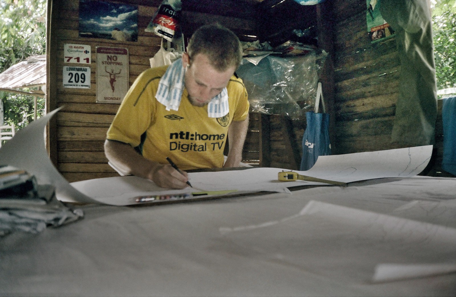 The last-known record of the author using hand tools for mapping, AD 2003
2005
Every few weeks I would go to Nagua — the nearest city — and sit in front of a fan in the office of a local NGO, glued to a computer equipped with manna from heaven: an ArcView 3.2 license donated by the German Development Service. I made bad maps of the nearby protected area, and worse maps of the surrounding villages.
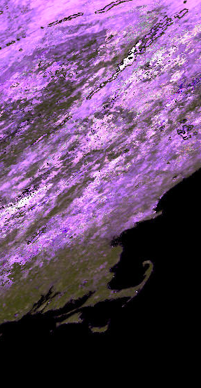 h12v04
2006
I had two monitors in my cubicle at Boston University — one fancy newfangled flatscreen and the other an old vacuum tube box, perched on top of a Unix station that I would occasionally boot up to run scripts that I didn’t understand, given to me by indulgent colleagues. I made maps of crops from one-kilometer pixels, using a curiosity called “Google Earth” to find training sites that big all over the world.
2008
The plotter at the engineering firm where I worked initially lived near my desk. I learned all the right PDF export settings so that it would — over half an hour or so — spit out a crisp, annotated orthophoto on an ArchD sheet that a project manager would take to an awkward public forum on a new highway onramp or ski resort parking lot. I used my mouse as a weapon in those days, digitizing as though my life depended on it.
2010
An army of University of Vermont undergrads carried a hundred letter-sized sheets of paper — detailing sites for daily bird counts — with them weekly into the cold dawn hours of a fast Fall. I used bookmarks in ArcMap to stay organized; I curated them meticulously, then mourned when they disappeared in a fried external hard drive. I moved on.
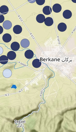
clementines
2012
It was always pleasant to walk the wide streets of Rabat on the way to the USAID contractor’s office. In my messenger bag was a netbook with QGIS on it, and it provided most of the juice needed to map an agricultural census and put it on the web. A colleague who spoke Arabic, French, Berber and PHP had to email another consultant that I couldn’t open the geodatabases he provided; could he send shapefiles?
2014
A dozen Vermonters sit at their macbooks, tracing out roads and houses in Kailahun — a place they’ve never been, and most likely will never visit. I try to help with feature questions and tech support, though my voice is raw from a cold and everyone has a pretty good handle on the process anyway. They use their trackpads like weapons, digitizing because others’ lives depend on it.
Now
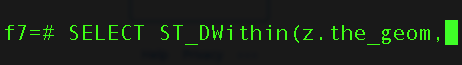
A query — formulated in a text editor and pasted into the psql command line — calculates a density index in a database of households likely to invest in solar panels. As I wait I look out over the lake at a snow squall rolling across from the Adirondacks, already whitecapped. The query finishes and I move on to the next one.